
City Big Data is revolutionizing urban planning and management by integrating geospatial analytics, real-time data, and AI-driven insights. At Ambit Geospatial Solution, we provide cutting-edge aerial survey services, 3D mapping, and LiDAR scanning to capture, process, and analyze complex urban data. Our solutions support smart city initiatives, infrastructure development, environmental monitoring, and disaster management, enabling governments and enterprises to make data-driven decisions with precision. From high-resolution aerial surveys to advanced geospatial analytics, we deliver actionable intelligence to shape the cities of the future.
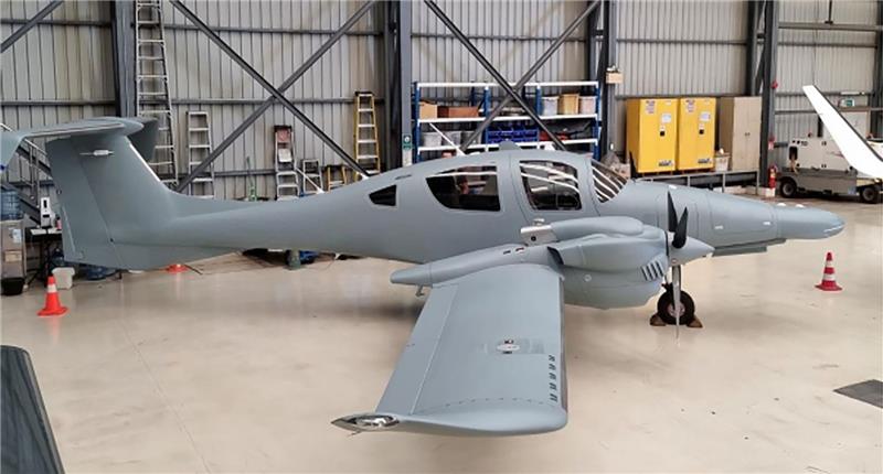
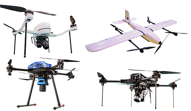
Our aerial survey services utilize high-performance fixed-wing aircraft to capture high-resolution geospatial data efficiently and cost-effectively. Ideal for large-scale mapping, terrain modeling, and environmental monitoring, our fixed-wing solutions ensure superior coverage, accuracy, and rapid data acquisition. With advanced sensors and state-of-the-art technology, we deliver actionable insights for industries such as construction, agriculture, and infrastructure planning. Trust us for reliable, scalable, and precise aerial surveying solutions tailored to your needs.
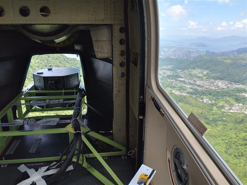
Our helicopter-based aerial survey services provide exceptional flexibility, precision, and detail for geospatial data collection. Ideal for projects requiring low-altitude, high-resolution imaging, our advanced sensors capture accurate and real-time data even in challenging terrains.
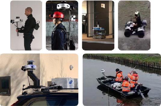
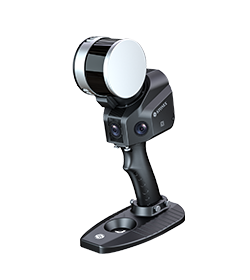
SLAM2BIM is a 3D mapping device and handheld mobile lidar scanner, one of the main data capture tools used by our company. It can obtain high-precision 3D point cloud data of the surrounding environment for 3D map construction without the need for illumination or GPS. We have used it in many of our projects in Hong Kong.
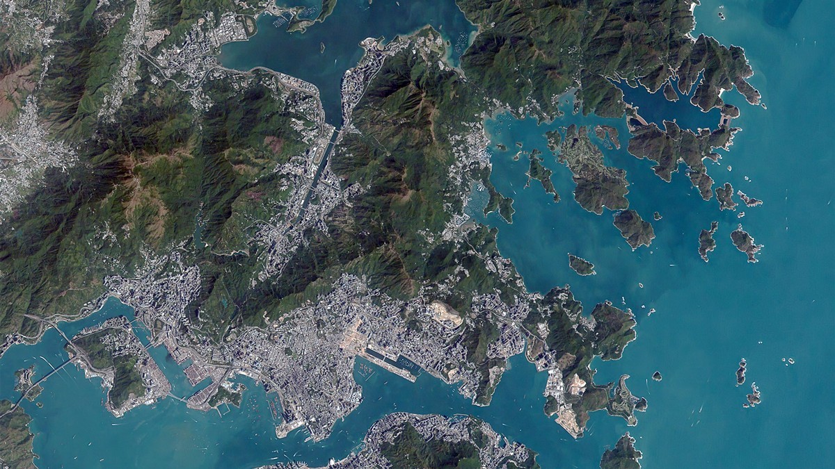
Our Satellite Tasking Service offers rapid, on-demand access to 30cm Very High-Resolution (VHR) satellite imagery tailored to your area of interest. Whether for urban monitoring, infrastructure planning, environmental analysis, or emergency response, we coordinate satellite acquisitions to capture the latest, cloud-free images with pinpoint accuracy. Backed by global satellite networks, our service ensures timely, reliable, and detailed imagery to support your geospatial and decision-making needs.