
The DA62MPP aircraft is designed for professional aerial survey purposed, it offers several advantages for aerial surveys. It features high efficiency with its ability to cover large areas in a single flight, thanks to its extended range and endurance.
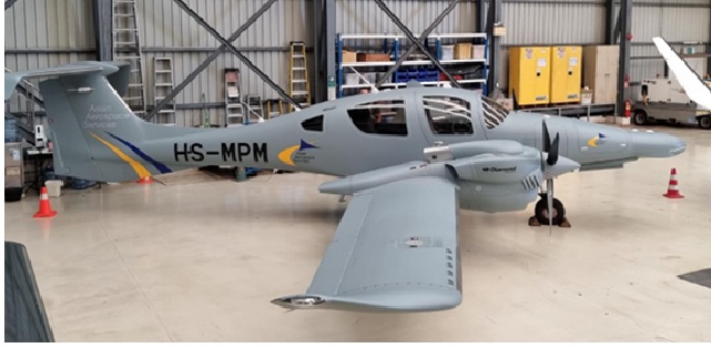
The Diamond Aircraft
The aircraft's state-of-the-art sensors and advanced data collection technologies ensure precise and high-resolution data capture, which is crucial for detailed mapping and analysis. Additionally, its robust design and reliability minimize downtime, ensuring consistent and uninterrupted survey operations. The DA62MPP is also cost-effective, combining low operational costs with high productivity, making it an ideal choice for comprehensive and efficient aerial surveying missions.
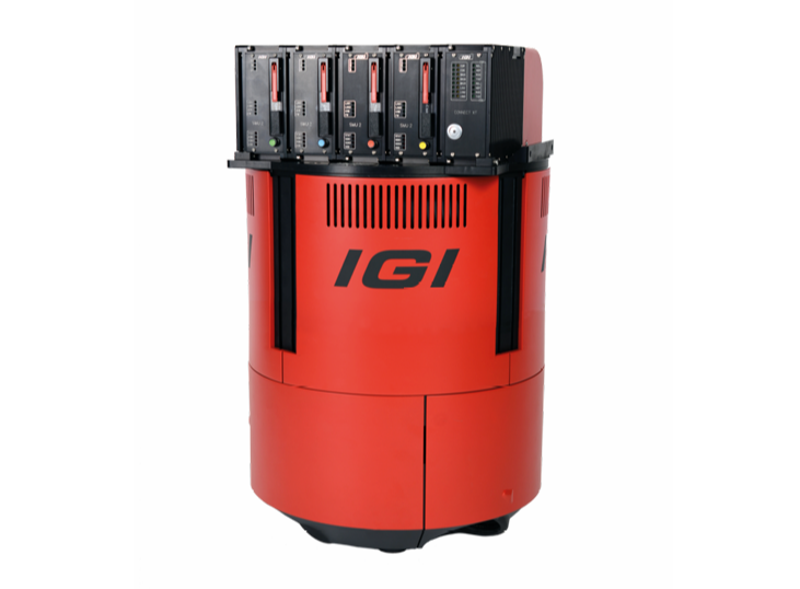
IGI PDC-280
The IGI PDC-280 is a high-performance aerial survey system designed for precise and efficient data collection. Equipped with advanced GNSS/IMU integration, it provides accurate positioning and orientation, making it ideal for photogrammetry, LiDAR, and multispectral imaging applications. Its compact and lightweight design allows for easy installation on various aircraft types, while its robust processing capabilities ensure fast data acquisition and analysis.
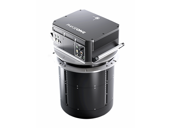
Phase One P880i
The Phase One P880i is a high-resolution aerial camera designed for precision mapping and survey applications. With an 80MP sensor, it delivers sharp, detailed imagery, making it ideal for photogrammetry, orthophoto production, and 3D modeling. Its compact, rugged design ensures easy integration into various aircraft and UAV platforms. The P880i's superior image quality and large field of view allow for efficient data acquisition over large areas, making it a preferred choice for urban mapping, forestry, and environmental monitoring projects.
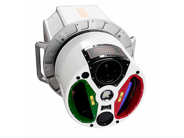
RIEGL VQ-1560i
The RIEGL VQ-1560i is a dual-channel airborne LiDAR system designed for highly efficient data acquisition over large areas. With its advanced laser scanning technology, it captures high-density point clouds, offering exceptional accuracy and detail for terrain mapping, forestry, and infrastructure surveys. The system's dual laser channels enable simultaneous data capture from two different angles, enhancing coverage and reducing survey time.
