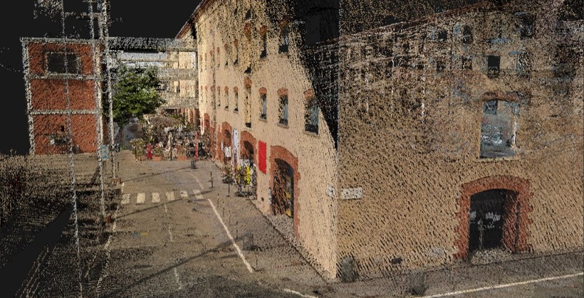
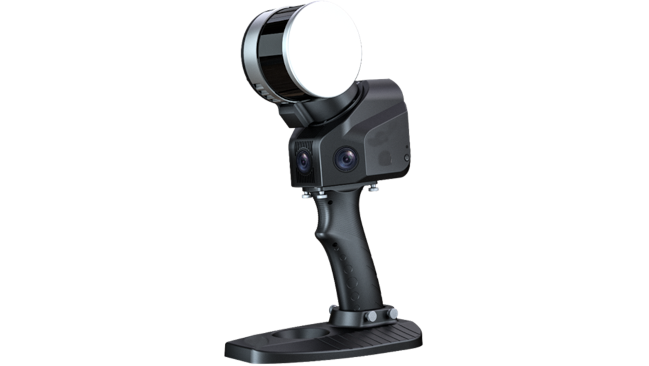
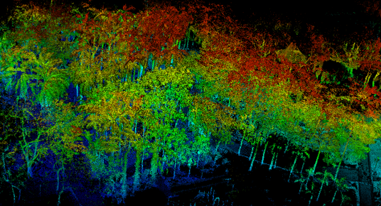
SLAM2BIM is a 3D mapping device and handheld mobile lidar scanner, one of the main data capture tools used by our company. It can obtain high-precision 3D point cloud data of the surrounding environment for 3D map construction without the need for illumination or GPS. We have used it in many of our projects in Hong Kong.
1. Laser Scanning Field of view: 270°×360°
2. Laser Pulse Repetition Rate: 320kHz
3. Camera Resolution: 5Megapixels
4. Absolute Accuracy: 5cm
5. Maximum Range: 120m
Equipped with three 5-megapixel cameras, the system delivers a 200° horizontal and 100° vertical field of view, enabling the simultaneous capture of texture details, color point clouds, and partial panoramic images.
The SLAM100 Laser Scanner employs rotational scanning to achieve a 270° x 360° field of view, ensuring accurate and comprehensive spatial data acquisition.
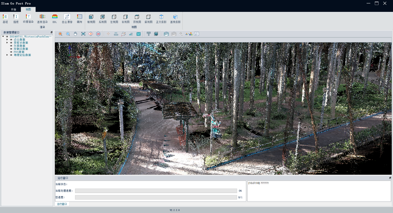
The SLAM2BIM’s associated software, SLAM GO POST, can perform post processing of SLAM100 collected data, producing high-precision, high-resolution color point clouds, generating local panoramic images, and allowing for point cloud browsing and optimization.
Industry-level SLAM post-processing algorithms empower the SLAM100 to achieve higher precision and finer 3D point cloud data. Additionally, without the need for manually adding control points, the SLAM100 actively collects and automatically extracts control points, enabling effortless georeferencing of result data in the global coordinate system.