
Photogrammetry Work at the Wisdom Path at Ngong Ping, Lantau (Cultural Heritage Condition Assessment)
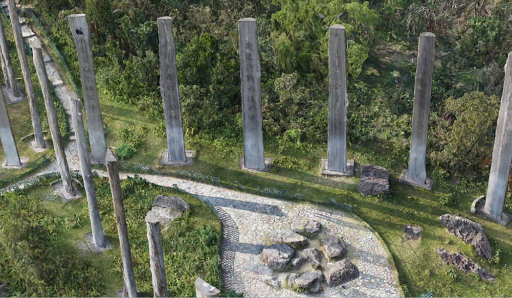
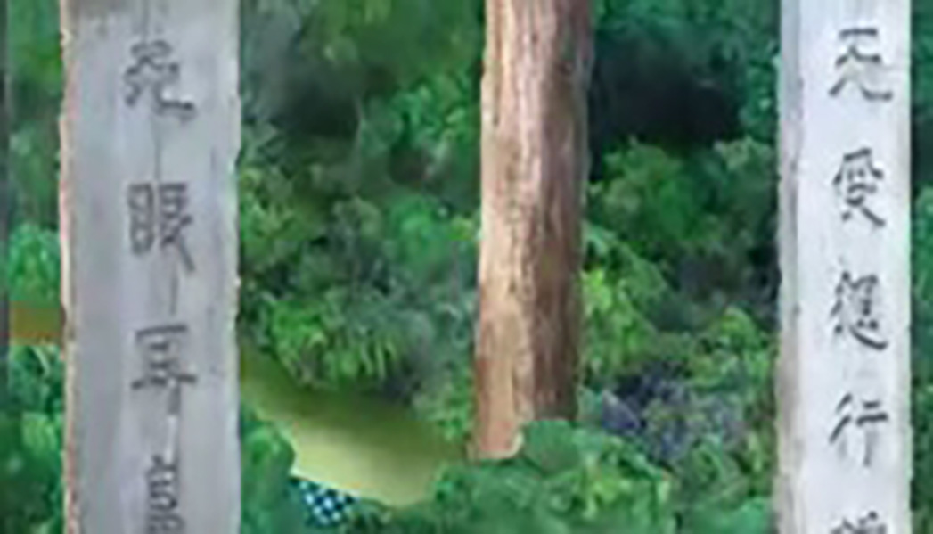
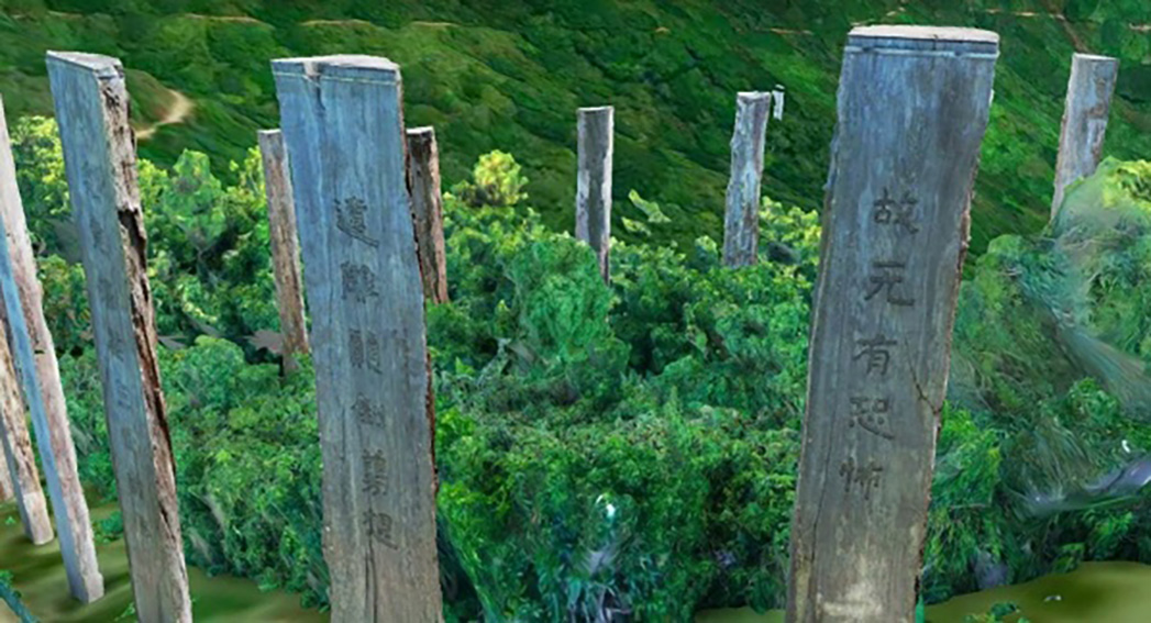
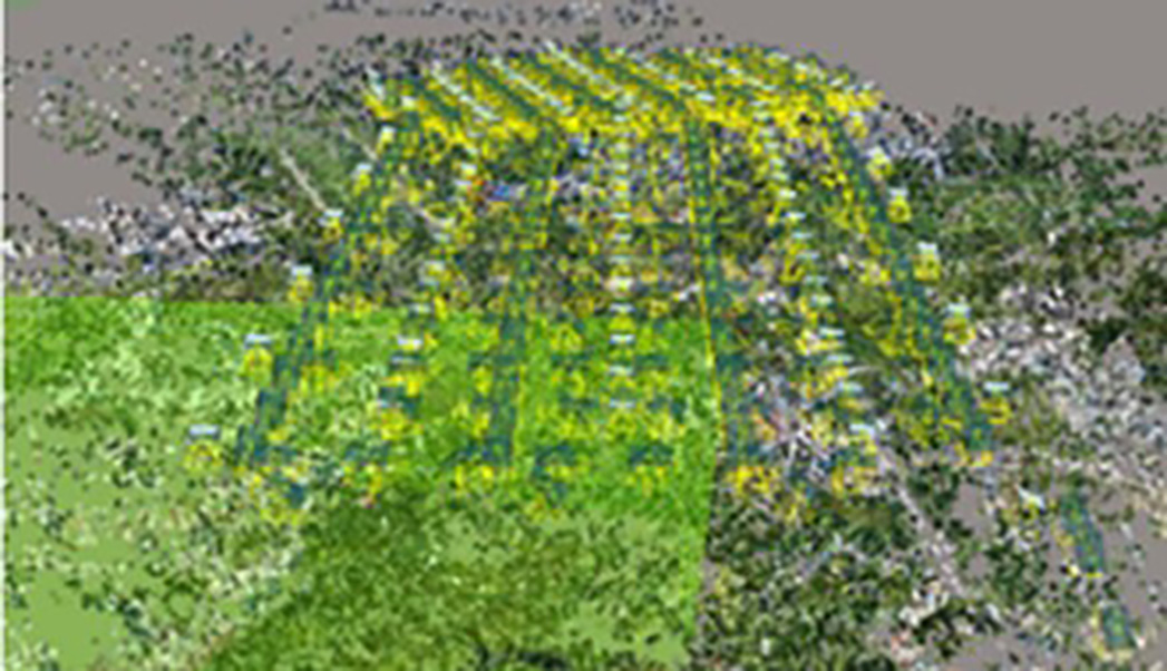
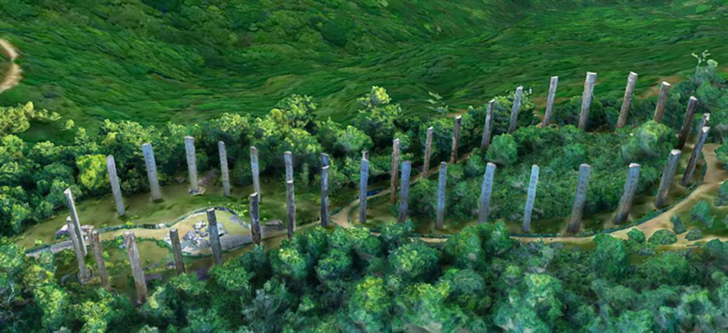
The final result of Wisdom Path used aerial-ground integration processing method to create a realistic 3D mesh model. The arborists and engineers can access both the overall site condition and individual timber condition
In May 2005, the Wisdom Path project was completed as thirty-eight timber columns with Buddhist inscription, and this became a tourism attraction. The purpose of this project is to produce a set of high-quality photogrammetry GIS data to assist arborist and engineers to identity the 38 timbers’ condition such as erosion and decomposition, and based on the status to design the best maintenance strategy.
Aerial-ground integration method was used to produce the final product. Therefore, the overall site condition can be accessed by engineers, and the details of the timber texture can be accessed by the arborists. Based on the final result, the experts can inspect the site condition remotely in their office, and the data itself allow the maintenance agent to call out the site condition record later on for change detection or comparison.
Ambit Geospatial Solution and third parties collect personal information as specified in the privacy policy and use cookies or similar technologies for technical purposes and, with your consent, for experience, measurement and marketing (personalized ads) as specified in the cookie policy.
You can freely give, deny, or withdraw your consent at any time by accessing the preferences panel. Denying consent may make related features unavailable.
Use the “Accept” button to consent. Use the “Reject” button to continue without accepting.