
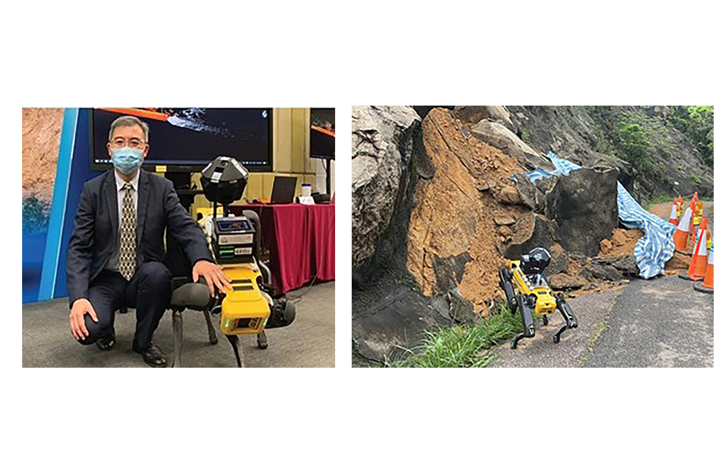
Provision of Services for Pilot Study on Application and Development of Close Range Data Capture Technology on Advanced Quadruped Robots and Data Processing by Artificial Intelligence Model for Geotechnical Works (Robotic Slope Inspection)
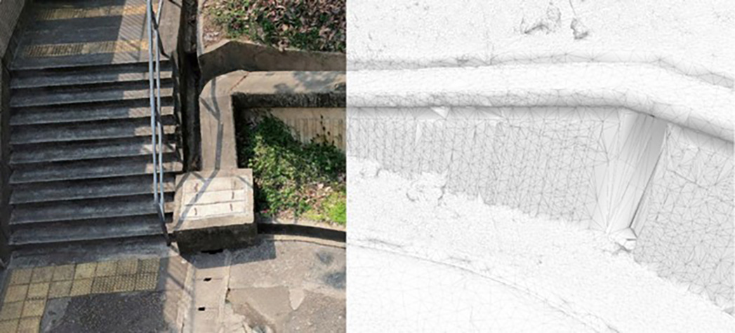
The 3D Slope data, including both realistic mesh models and LiDAR point cloud data eventually contribute to the 3D Slope Inventory and Online 3D Slope Information System, which helps geotechnical engineers to perform site inspection, slope inventory management and make informed decisions.
Ambit Geospatial Solution and third parties collect personal information as specified in the privacy policy and use cookies or similar technologies for technical purposes and, with your consent, for experience, measurement and marketing (personalized ads) as specified in the cookie policy.
You can freely give, deny, or withdraw your consent at any time by accessing the preferences panel. Denying consent may make related features unavailable.
Use the “Accept” button to consent. Use the “Reject” button to continue without accepting.