
Provision of Services for Conducting a Geospatial Survey and Building Photorealistic 3D Models of Lai Chi Wo(Cultural Heritage High-definition Realistic Model)
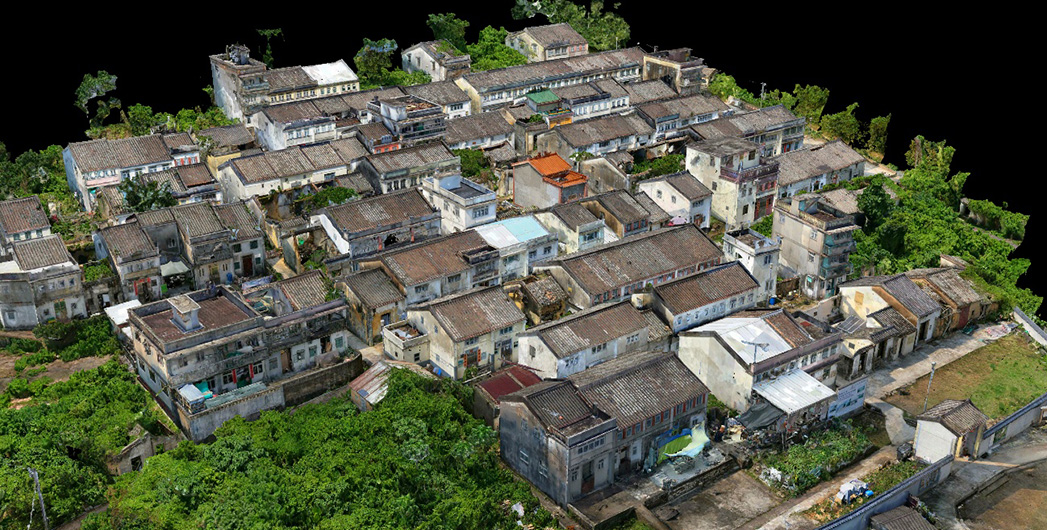
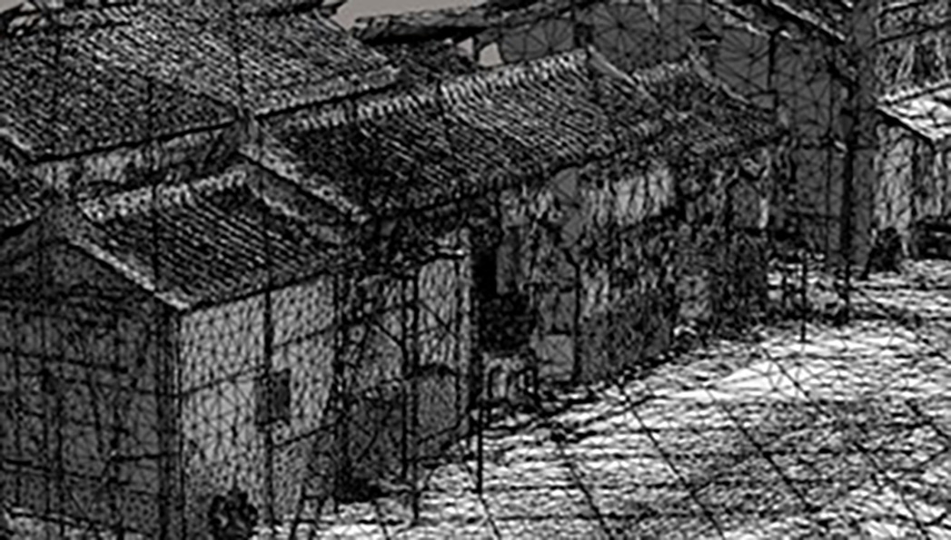
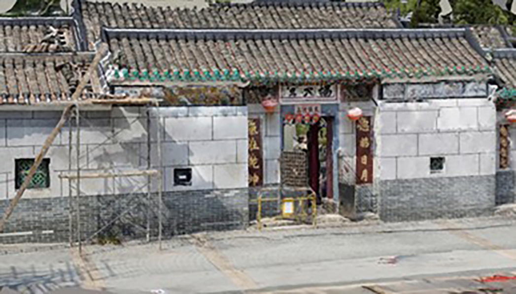
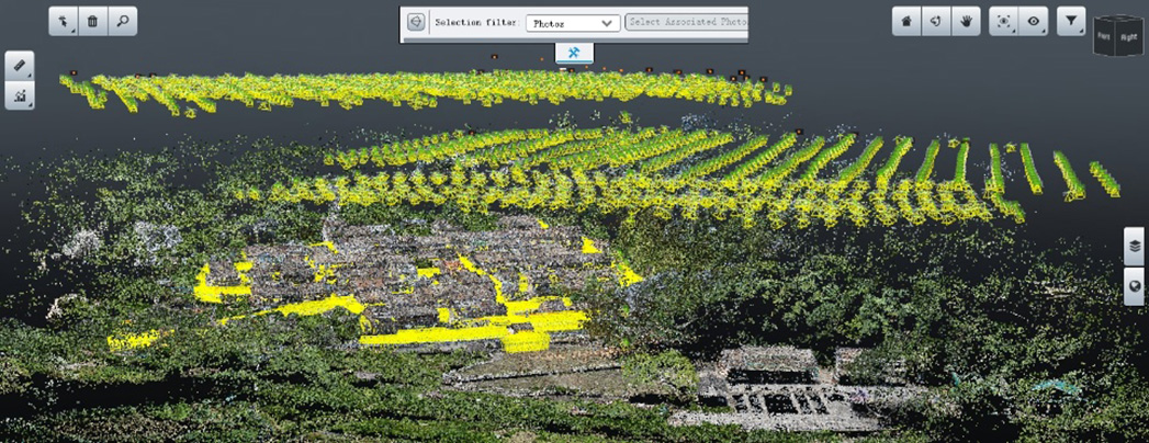
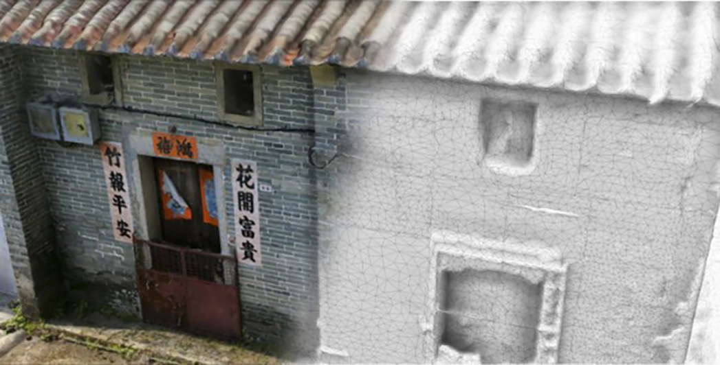
The final 3D geospatial dataset of Lai Chi Wo used aerial-ground integration processing method to create a realistic 3D GIS scene for rural sustainability evaluation and development decision making.
Ambit Geospatial Solution and third parties collect personal information as specified in the privacy policy and use cookies or similar technologies for technical purposes and, with your consent, for experience, measurement and marketing (personalized ads) as specified in the cookie policy.
You can freely give, deny, or withdraw your consent at any time by accessing the preferences panel. Denying consent may make related features unavailable.
Use the “Accept” button to consent. Use the “Reject” button to continue without accepting.