
Provision of Services on the Generation of 3D Digital Map of New Territories East for the Lands Department
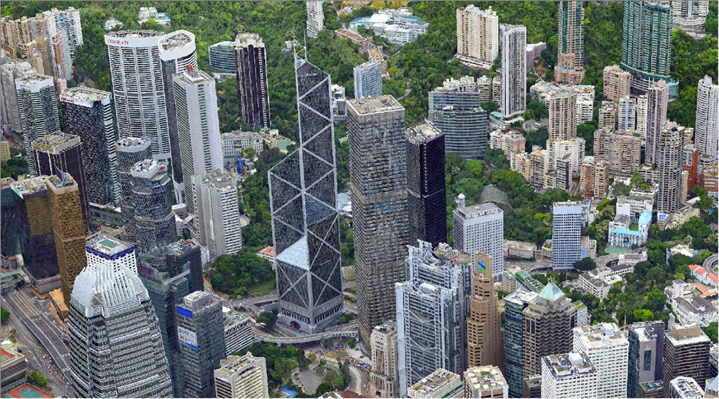
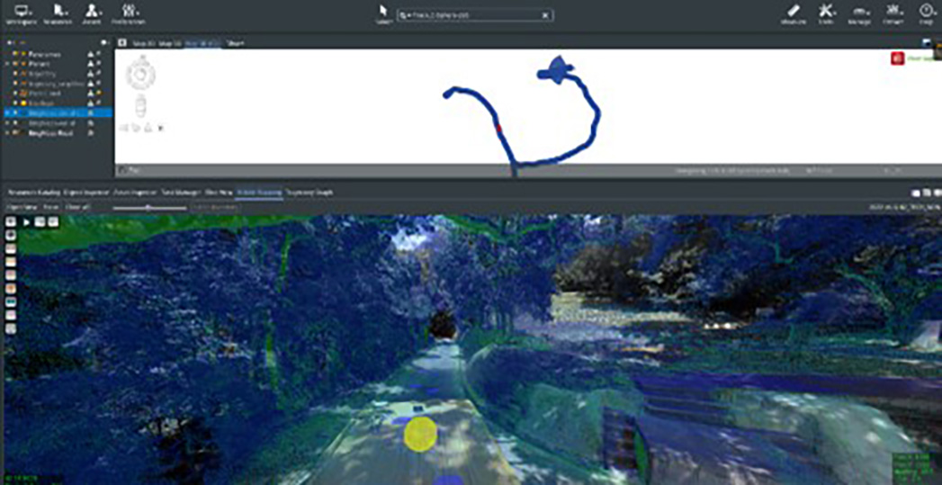
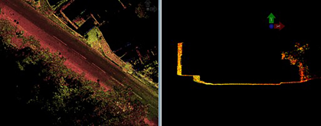
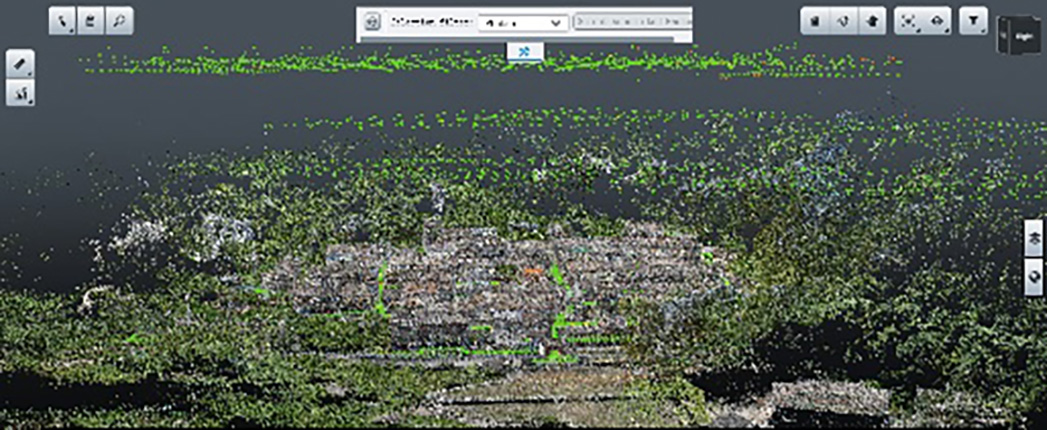
The 3D Visualisation Map, including individualised models are a set of digital data of 3D models featuring geometry models and texture maps to represent the latest high-end 3D Geospatial product, the digital map includes geometrical shape, appearance and position of different types of ground objects, including building, infrastructure, vegetation, site, waterbody, terrain
Ambit Geospatial Solution and third parties collect personal information as specified in the privacy policy and use cookies or similar technologies for technical purposes and, with your consent, for experience, measurement and marketing (personalized ads) as specified in the cookie policy.
You can freely give, deny, or withdraw your consent at any time by accessing the preferences panel. Denying consent may make related features unavailable.
Use the “Accept” button to consent. Use the “Reject” button to continue without accepting.